Infographic · July 2026
Contours show the shape of the land, slope shows its steepness, and drainage shows where water goes. Together they explain how a property behaves — and what it will cost you if you get it wrong.
 View full size
Detailed infographic — tap or click the image to open it full size for reading.
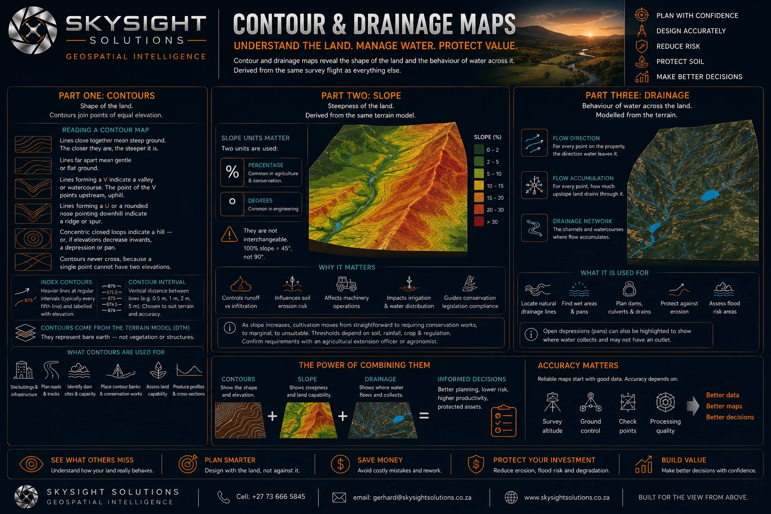
Three products come out of the same survey flight, and each answers a different question about how a property behaves.
Contours describe the shape of the land — lines joining points of equal elevation. Close together means steep, far apart means gentle, a V points upstream along a watercourse, and concentric loops mean a hill or, if elevations fall inward, a pan. They come from the terrain model, so they describe bare earth rather than the tops of trees.
Slope describes steepness, and governs how fast water runs off rather than infiltrating, how much soil that runoff carries, whether machinery can work the land safely, and whether irrigation distributes evenly. One practical warning: slope is quoted either as a percentage or in degrees, and they are not interchangeable — a 100 per cent slope is 45 degrees, not 90.
Drainage describes the behaviour of water. Flow direction gives, for every point, where water leaves it. Flow accumulation gives how much upslope land drains through it — and the lines where that concentrates are the watercourses, including ephemeral ones that are invisible on the ground in winter.
The value is in combining them. Contours plus slope plus drainage is what lets you site a dam with the catchment to fill it, position conservation works where erosion actually begins, size a culvert to the water that will reach it, and understand why a particular paddock has never performed.
Accuracy depends on how the survey was flown — altitude, ground control, checkpoints and processing quality. Better data makes better maps, and better maps make better decisions.
Want this applied to your own property, site or asset?
Book a Consult