Infographic · July 2026
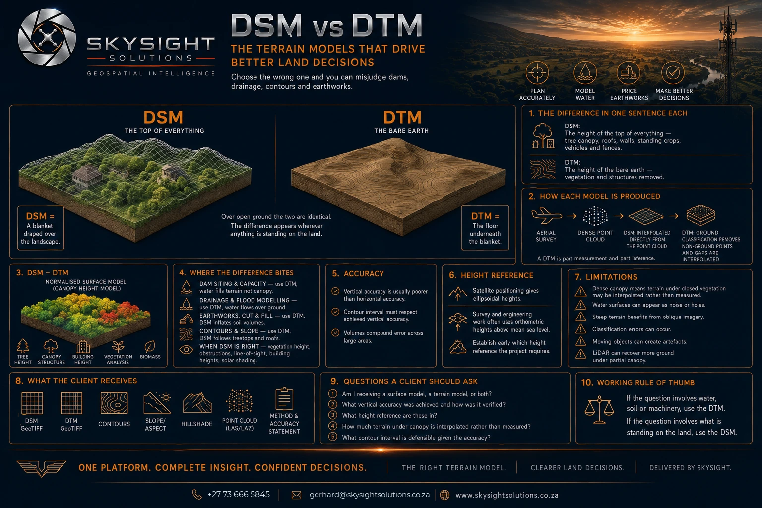
Both look almost identical on screen. Only one is the shape of the ground — and choosing the wrong one can misjudge a dam, route drainage across rooftops, or price earthworks against soil that is actually tree canopy.
 View full size
Detailed infographic — tap or click the image to open it full size for reading.
A Digital Surface Model is the height of the top of everything — tree canopy, roofs, walls, standing crops, fences. A Digital Terrain Model is the height of the bare earth, with all of that stripped away.
The useful mental image: the surface model is a blanket draped over the landscape. The terrain model is the floor underneath the blanket. Over open, bare ground the two are identical. The difference appears wherever anything is standing on the land — which, on most rural properties, is a large proportion of it.
Getting this wrong is expensive. Water fills terrain, not canopy, so a dam capacity calculated from a surface model over wooded ground will overstate the basin. Drainage modelled on a surface model routes water around buildings and over tree tops. Earthworks quoted against a surface model include the volume of whatever is growing on the site.
The working rule: if the question involves water, soil or machinery, use the terrain model. If it involves what is standing on the land — vegetation height, obstruction clearance, building extents, solar shading — use the surface model.
Subtracting one from the other produces a third product, the canopy height model, which is what makes tree height, bush encroachment measurement and vegetation classification possible.
One honest limitation: where canopy is dense enough that the ground was never visible from the air, the terrain model in those areas is interpolated rather than measured. LiDAR recovers more ground under partial canopy than photogrammetry can.
Want this applied to your own property, site or asset?
Book a Consult